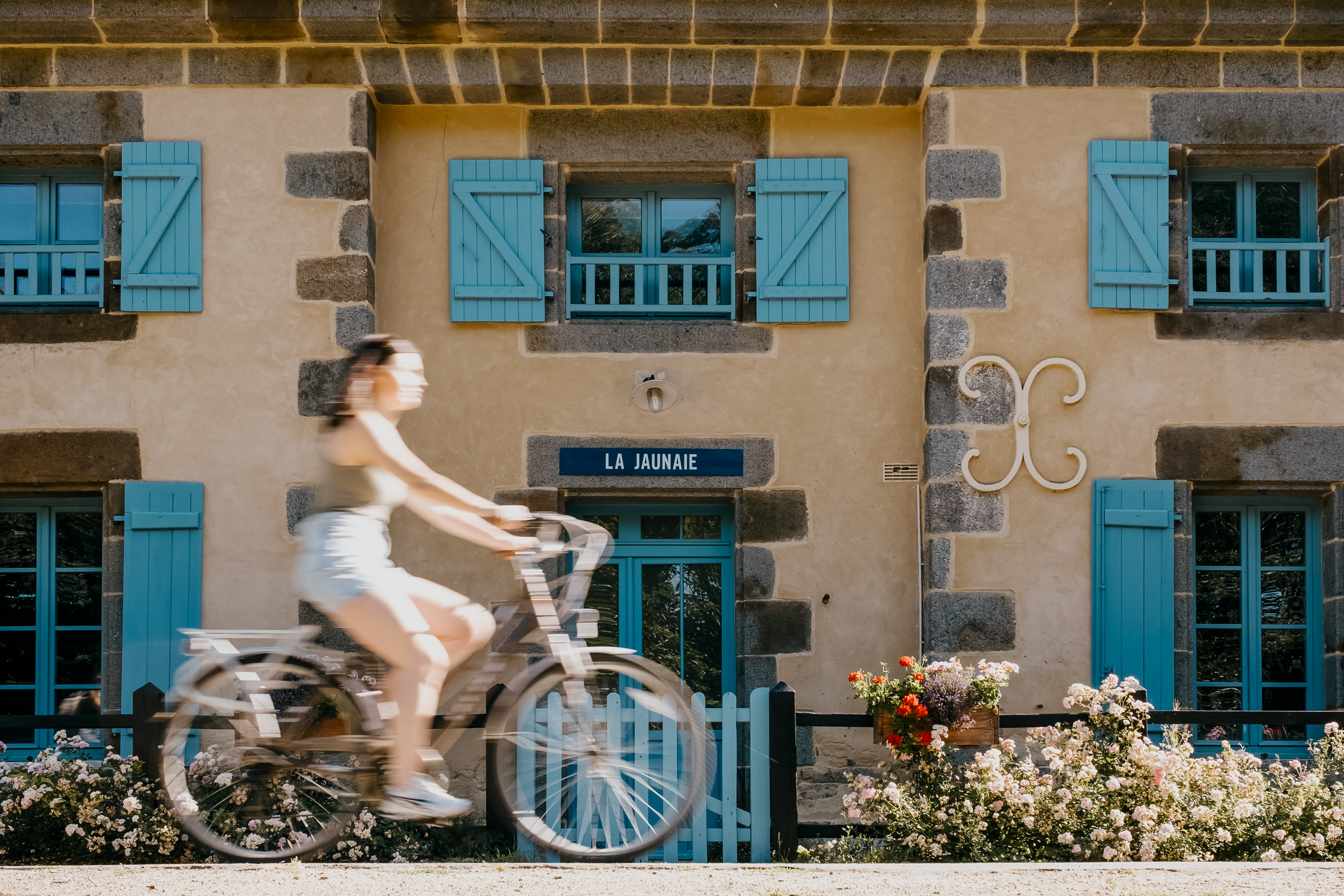
Brittany's cycling network is built around a framework of long-distance véloroutes — the French term for waymarked cycle routes — many of which follow canal towpaths, disused railway alignments and the coast. These are complemented by shorter voies vertes, or greenways, which are typically traffic-free and well suited to families. Whether you want a multi-day touring holiday or a gentle afternoon ride from your gîte, the infrastructure exists. The challenge is choosing the right route for your trip.
QUICK CHOICE
Which ride is right for you?
If you know what kind of cycling you want, start here. Each recommendation is explained in the sections below.
WHAT IT'S LIKE
What cycling in Brittany is like
Brittany is not a single cycling experience. The north coast is rugged and exposed, with cliffs and pink granite formations; the south coast is gentler, with estuaries and the Gulf of Morbihan; the interior is a patchwork of farmland, forest and canal towpaths. The cycling reflects that variety.
The region's cycling infrastructure is built on three foundations: long-distance véloroutes that cross Brittany end to end, canal towpaths that follow the region's historic waterways, and converted railway lines that have been resurfaced as traffic-free greenways. The quality of the surface varies — some greenways are smoothly paved, others are compacted stone that can be softer after rain — but the overall network is extensive and well waymarked.
Brittany is not flat. The interior has rolling hills, and the coastal paths can climb. However, the canal towpaths and greenways are generally the flattest options, which is why they are recommended for beginners and families. The long-distance routes are designed for touring cyclists and are rideable on a hybrid or touring bike; a road bike is fine on paved sections but less suitable for compacted-stone greenways.
One important distinction: Brittany Tourism identifies nine long-distance cycling routes across the region, while France Vélo Tourisme lists eight major véloroutes. The figures differ because they count differently. Rather than fixating on the total, focus on which individual routes suit your trip.
LONG-DISTANCE TOURING
La Vélodyssée — EuroVelo 1
La Vélodyssée is part of EuroVelo 1, the Atlantic Coast Route, and is one of France's most celebrated long-distance cycle routes. From Roscoff it runs the full length of the French Atlantic coast to Hendaye on the Spanish border, with significant sections following the Nantes-Brest Canal through inland Brittany.
The full route is a serious undertaking — over 1,000 km with dozens of stages — and is not a beginner ride. But individual stages through Brittany are accessible to experienced day-riders and touring cyclists. The surface is approximately three-quarters cycle path, with the remainder on road.
Representative Brittany stages include:
- Roscoff to Morlaix — 33 km
- Morlaix to Carhaix — 48 km
- Carhaix to Rostrenen — 33 km
- Rostrenen to Mûr-de-Bretagne — 31 km
- Mûr-de-Bretagne to Pontivy — 23 km
- Pontivy to Josselin — 48 km
- Josselin to Peillac — 46 km
- Peillac to Redon — 17 km
The canal towpath sections can be trickier after heavy rain, when the surface may be softer or muddier than the paved sections. If you are planning a multi-day tour, check the current surface reports on the official La Vélodyssée website before committing.
COASTAL CYCLING
La Vélomaritime — EuroVelo 4
La Vélomaritime is part of EuroVelo 4, running along the Channel coast from Roscoff to Dunkirk. Through Brittany, it traces the north coast past the Pink Granite Coast, the Goëlo coast and the Emerald Coast to Saint-Malo and Cancale, making it one of the most scenic cycling routes in the region.
The route is approximately 60% road and 40% cycle path, so it is better suited to cyclists who are comfortable sharing with traffic. The Brittany stages are relatively short, which makes them feasible as day rides if you are based along the north coast.
Representative Brittany stages include:
- Roscoff to Morlaix — 33 km
- Morlaix to Plougasnou — 26 km
- Plougasnou to Plestin-les-Grèves — 20 km
- Plestin to Lannion — 25 km
- Lannion to Perros-Guirec — 38 km
- Perros-Guirec to Tréguier — 23 km
- Tréguier to Paimpol — 20 km
- Paimpol to Saint-Quay-Portrieux — 39 km
- Saint-Quay to Saint-Brieuc — 26 km
- Saint-Brieuc to Erquy — 39 km
- Erquy to Matignon — 29 km
- Matignon to Pleslin-Trigavou — 25 km
- Pleslin-Trigavou to Saint-Malo — 28 km
- Saint-Malo to Cancale — 18 km
CANAL CYCLING
The Nantes-Brest Canal
The Nantes-Brest Canal is one of Brittany's historic waterways, running roughly 390 km from Nantes to Châteaulin. With 238 locks along its length, it is a feat of 19th-century engineering and one of the quietest cycling corridors in the region. The towpath provides a largely flat, traffic-free route through the Brittany interior.
The canal forms part of La Vélodyssée through central Brittany, but you do not need to be riding the full Atlantic route to enjoy it. Individual stages make excellent day rides, particularly through the central sections where the towpath is well maintained and the countryside is at its most peaceful.
Representative stages include:
- Châteaulin to Châteauneuf-du-Faou — 43 km
- Châteauneuf-du-Faou to Carhaix — 32 km
As with all canal towpaths, the surface can vary and may be softer after rain. The towpath is generally suitable for hybrid or touring bikes rather than road bikes with narrow tyres.
SAINT-MALO AND DINAN
The Ille-et-Rance canal corridor
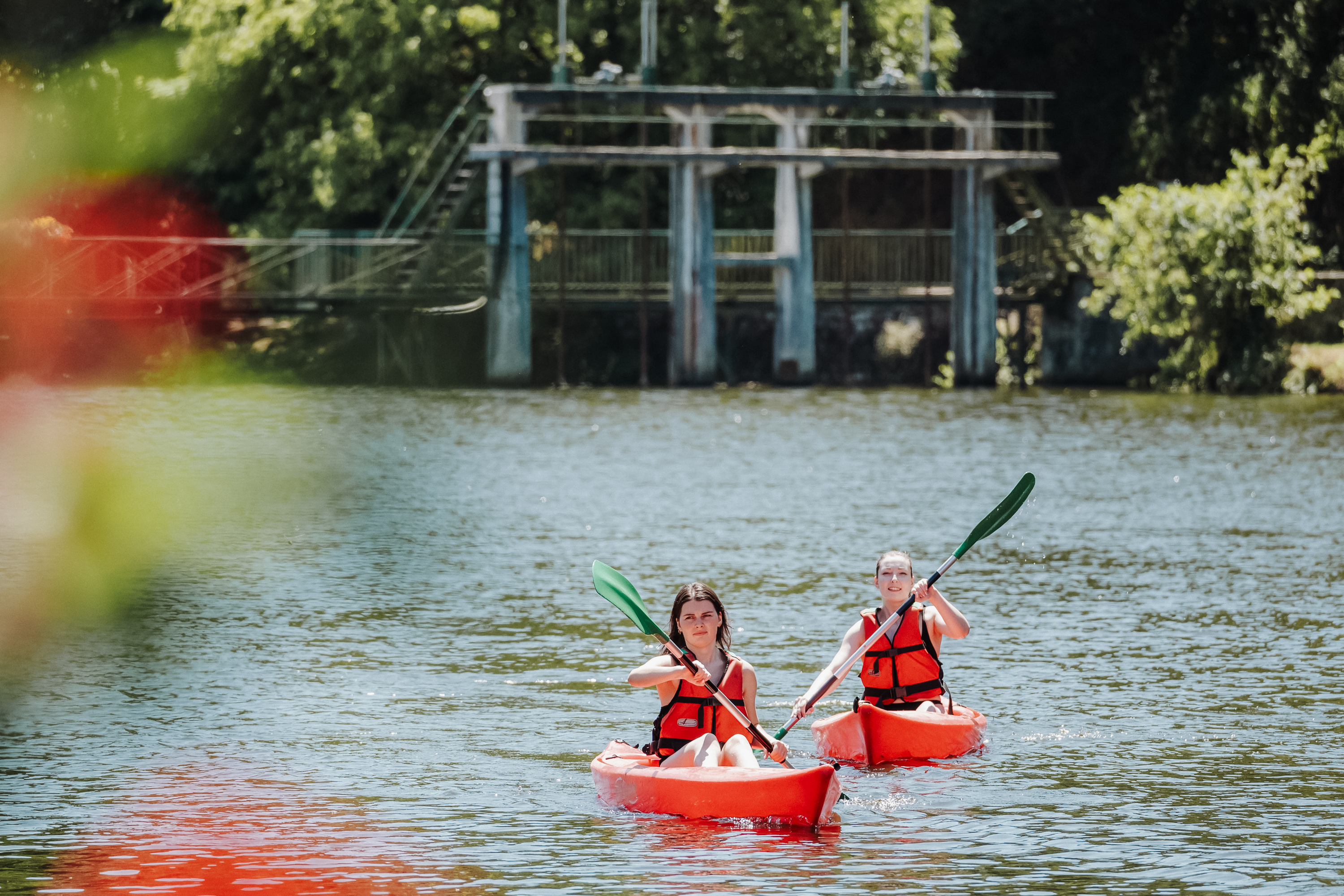
The Ille-et-Rance canal corridor is one of the most useful cycling routes for visitors arriving in Saint-Malo. It is part of Brittany's Route 2, which runs from Saint-Malo to Arzal on the south coast — a total of 245 km across six stages, approximately three-quarters of which is cycle path.
The northern stages are the most relevant for UK visitors:
- Saint-Malo to Évran — 37 km (passes Dinan and follows the Ille-et-Rance canal corridor with substantial greenway riding)
- Évran to Montreuil-sur-Ille — 35 km (entirely greenway)
- Montreuil-sur-Ille to Rennes — 32 km
These stages are well suited to beginners and families because they combine canal-side riding with long traffic-free sections. The route passes through Dinan, making it a natural day ride or two-day trip from Saint-Malo. Rather than quoting a single end-to-end distance — which varies between sources — use the stage distances above to plan a ride that matches your time and ability.
WESTERN BRITTANY
Roscoff to Concarneau — Route 7
Route 7 runs from Roscoff southwards to Concarneau, a total of 147 km across six stages with approximately three-quarters of the route on cycle path. It connects the north-coast ferry port to the south coast through the Brittany interior, passing through the Montagnes Noires and the Cornouaille countryside.
Representative stages include:
- Carhaix to Gourin — 21 km
- Gourin to Rosporden — 30 km
- Rosporden to Concarneau — 15 km
This route connects naturally with the shorter greenway rides around Guiscriff and Gourin described in the beginner section below, making it a useful option for riders who want to combine a longer touring route with gentler day stages.
BEGINNERS AND FAMILIES
Beginner and family rides
For beginners and families, the key principle is simple: start with a short traffic-free greenway stage rather than committing to an entire long-distance route. Brittany's converted railway lines and canal towpaths provide the flattest, safest options, and many have picnic tables and stopping points along the way.
The greenway around Guiscriff in central Brittany is one of the clearest family-friendly options. Brittany Tourism highlights it as a good first ride, and the short stages make it easy to tailor the distance to your group:
- Guiscriff to Gourin — 12.5 km
- Guiscriff to Rosporden — 17.5 km
- Gourin to Rosporden — 30 km
Other verified shorter rides across Brittany include:
- Pontivy to Saint-Gonnery — 21 km (canal greenway)
- Redon to Île-aux-Pies — 9 km (short and scenic)
- Plouharnel to Quiberon — 19 km (coastal, the Quiberon tombolo)
- Dol-de-Bretagne to Mont-Saint-Michel — 38 km (longer, but flat and well waymarked)
- Dol-de-Bretagne to Cancale — 30 km (connects the interior to the Emerald Coast)
Not every ride on this list is suitable for every child or every family. A 9 km traffic-free greenway is a very different proposition from a 38 km route to Mont-Saint-Michel, even if both are flat. Consider the ages and stamina of your group, the surface type, and whether the route has road crossings. Check current surface conditions and any temporary closures before setting off.
ARRIVING BY FERRY
Starting a cycling trip from Roscoff or Saint-Malo
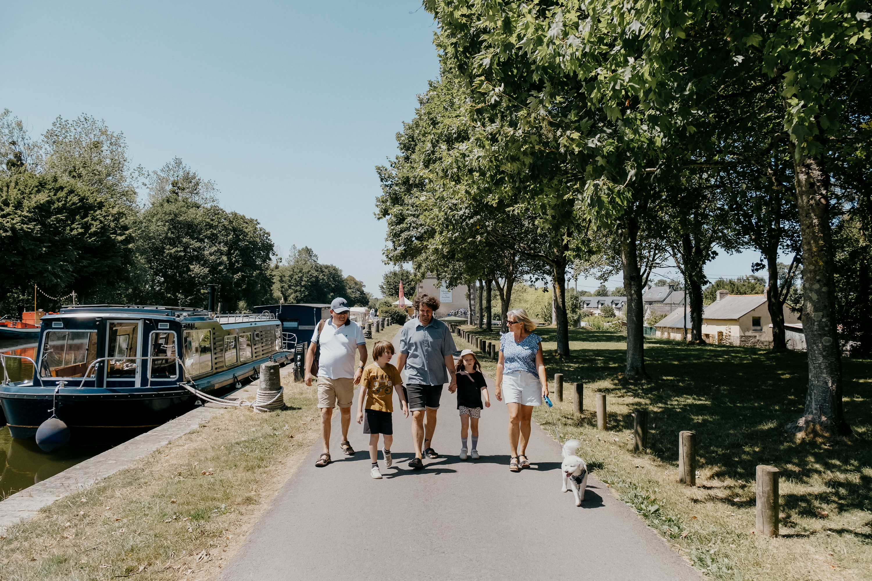
Brittany's two direct ferry ports from the UK — Roscoff and Saint-Malo — are both useful starting points for cycling trips, and each connects to a different part of the network.
Roscoff is the more connected of the two. La Vélodyssée (EuroVelo 1) begins here, as does La Vélomaritime (EuroVelo 4). Route 7 runs south from Roscoff towards Concarneau, and the V45 also connects through the port. This makes Roscoff the natural choice for cyclists who want to ride the long-distance network, whether heading west along the north coast, south through the interior, or continuing along the Atlantic.
Saint-Malo connects to the Ille-et-Rance canal corridor, which provides traffic-free greenway riding to Dinan and onwards towards Rennes. It also connects to the Vélomaritime, which runs east along the Emerald Coast. Saint-Malo is the better choice for cyclists who want gentle canal-side riding or who are combining cycling with a stay in the Saint-Malo and Dinan area.
Check the current bicycle carriage policy and booking requirements with your ferry operator before travelling. Bicycle rules, charges and handling procedures can change, and they have not been verified for this guide. The ferry operator's official website is the authoritative source.
CYCLING-FRIENDLY STAYS
Accueil Vélo and where to stay
Accueil Vélo is a national French label for cycling-friendly accommodation and services. Businesses that carry the label are located within a reasonable distance of a recognised cycling route and provide specific facilities for cyclists, such as secure bicycle storage, repair kits, and a welcoming attitude to muddy bikes. The scheme is administered by France Vélo Tourisme.
Accueil Vélo-labelled services are found across Brittany, particularly along the major véloroutes such as La Vélodyssée and the Vélomaritime. Rather than listing individual businesses — which change — look for the label when booking accommodation if cycling is central to your trip. It is a reliable signal that the host understands what cyclists need.
PLANNING YOUR RIDE
Practical advice for cycling in Brittany
- Choose the right bike: A hybrid or touring bike is the most versatile choice for Brittany's mixed surfaces. Road bikes are fine on paved sections but less suitable for compacted-stone greenways and canal towpaths.
- Check the surface: Canal towpaths and greenways can be softer after rain. Check current conditions before committing to a long stage, particularly on the Nantes-Brest Canal.
- Plan short stages for families: Official guidance suggests starting with short stages and adjusting for children's ages. A 12 km greenway with a picnic stop is a better first ride than a 30 km stage.
- Carry water and snacks: Some greenway sections pass through countryside with few facilities. Carry more water than you think you need, particularly in summer.
- Check ferry bicycle rules: If you are bringing your own bike on the ferry, check the operator's current bicycle policy, charges and booking requirements before travelling.
- Use official sources: For stage-by-stage route descriptions, GPX files, surface reports and closures, consult Brittany Tourism, France Vélo Tourisme and the official EuroVelo website. These are the authoritative sources and are kept up to date.
SPECIALIST SOURCES
Where to find detailed route information
This guide gives you an overview of the main routes and helps you choose. For detailed stage-by-stage planning — including GPX files, elevation profiles, surface conditions, accommodation listings and live closure information — use the official sources:
- Brittany Tourism (brittanytourism.com): The regional tourism board's cycling pages, covering the nine long-distance routes and family-cycling guidance.
- France Vélo Tourisme (francevelotourisme.com): The national cycling tourism portal, with detailed stage descriptions, GPX downloads and Accueil Vélo listings.
- EuroVelo (eurovelo.com): The European Cyclists' Federation's official EuroVelo route information, including EV1 (La Vélodyssée) and EV4 (La Vélomaritime).
RELATED GUIDES